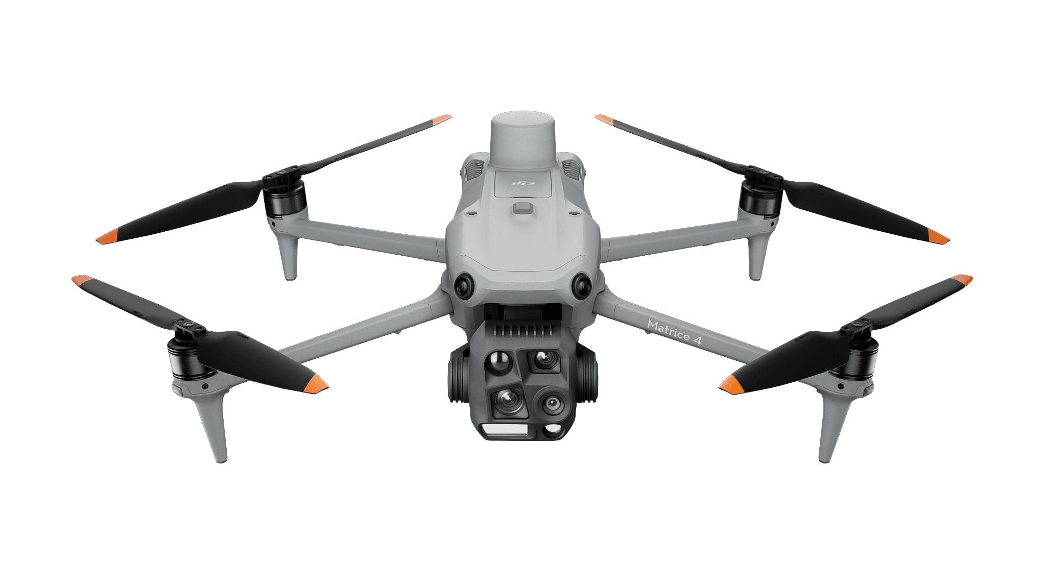
Matrice 4TThermal + visual
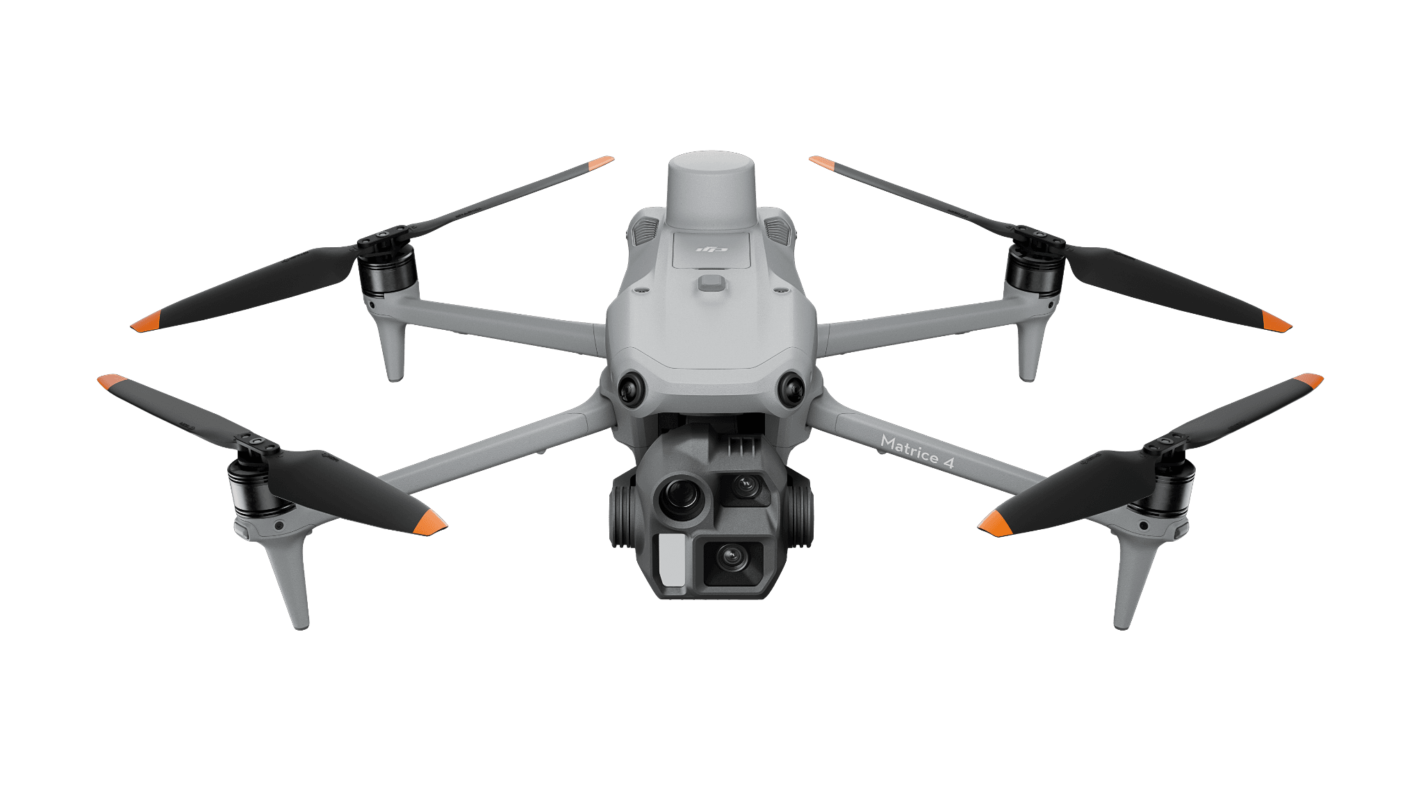
Matrice 4EMapping photographs
Buying guides
Matrice 4T or 4E? Thermal response vs. mapping
The aircraft look similar. Their wide cameras and thermal capability lead to different buying decisions.
UAV Super resources
Camera comparisons, practical capture guides and lessons from published field projects.
The aircraft look similar. Their wide cameras and thermal capability lead to different buying decisions.
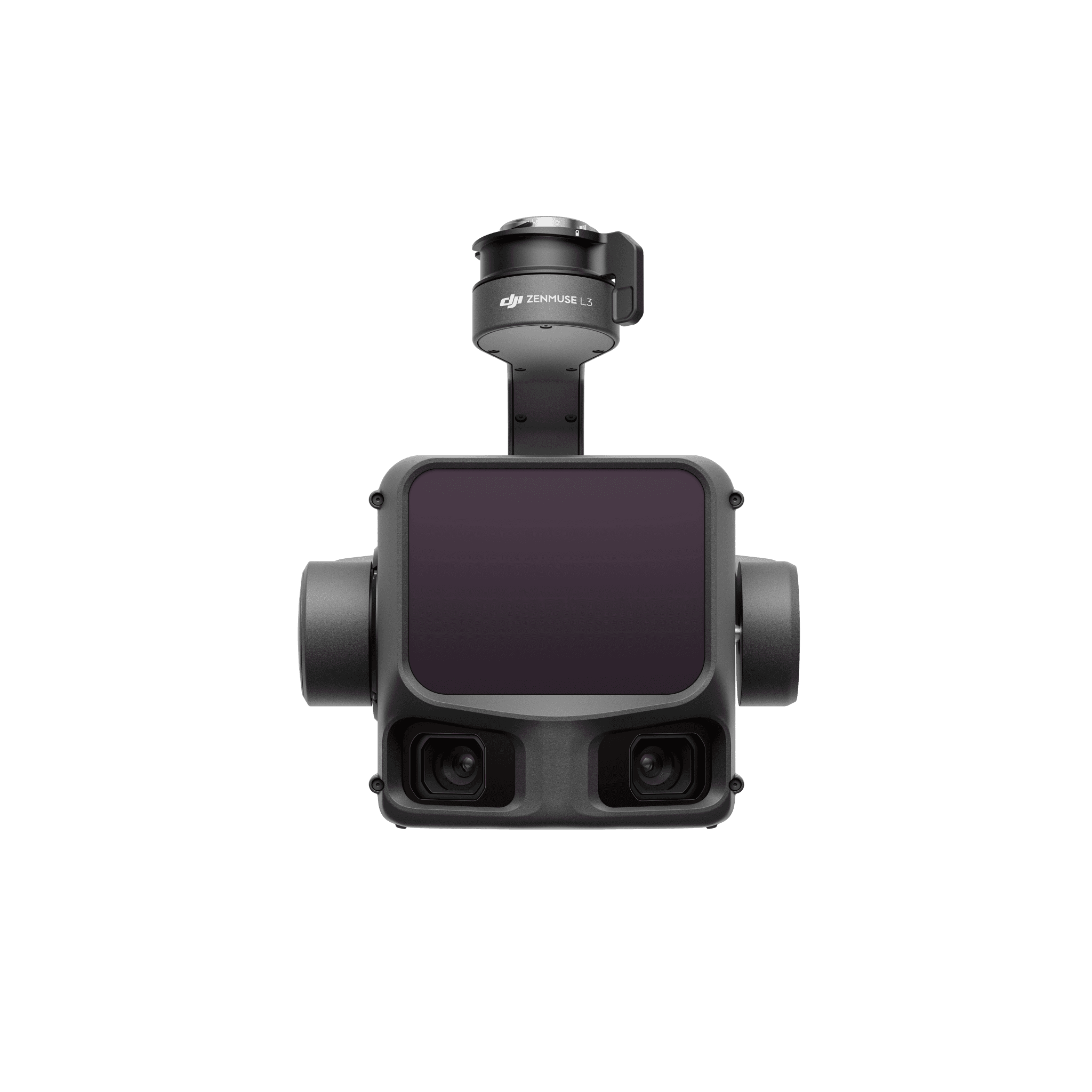
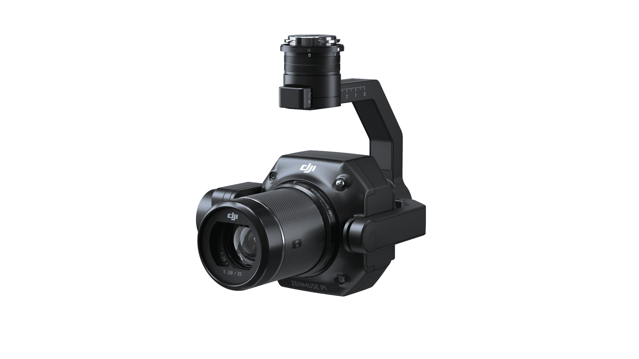
A photographic model and a laser point cloud can both look convincing. Their strengths depend on the subject and the output.
A maintenance finding must resolve to an array location. Establish the capture and naming requirements before covering the whole site.
A modular aircraft is one line in the order. Here is how to assemble the rest without confusing optional equipment with included items.
Both belong to the H30 inspection family. Thermal changes the information you collect, not just the picture on the screen.
LiDAR hardware is the beginning of a point-cloud workflow. Decide which surface, classification and export the project needs.
Select the camera model, then the operating branch. A controller package and a Dock aircraft are different commercial configurations.
A surveying reference and a fixed relay solve different problems. The shared D-RTK 3 name does not make their roles interchangeable.
Corrections help position a capture. Independent checks tell you whether the delivered map meets the project requirement.
Pair the thermal original with visual context, asset identity and the information a reviewer needs to interpret it.
A Drone as First Responder (DFR) program needs a working incident handoff, a maintained site and an accountable operating team.
The useful output is a location and a task the ground team can act on, together with a record of what remains unsearched.
These are different capture jobs. Choose the output before choosing the payload or combining them into one flight.
A recurring site record is useful when the field and office teams can find the same area, understand the date and compare the right views.
A volume result is only interpretable when the measured surface, pile boundary and assumed base are kept with it.
Choose the layer the forestry team needs before choosing a sensor or calling the result an inventory.
An index layer directs attention. The crop specialist and field observations determine what the variation means.
Build and inspect the reconstruction first. Keep edits traceable so the production team can explain what changed.
A sample can test your processing skills and software. Read its capture and reference notes before drawing a hardware conclusion.
A published DJI case shows why wildfire follow-up needs location-linked evidence and a clear receiving team.
The 2023 pilot used an earlier DJI Dock and M30T Dock Version. Its useful lessons concern the site and data handoff.
A published DroneDeploy site visit provides an example of Dock-based construction capture and the people who use the record.
A Canadian research example connects drone mapping and DJI Terra with observations at a peatland study site.
A published DJI example pairs Matrice 4E and Terra for architectural photogrammetry in Germany.
DJI’s dated release adds Copilot route generation and expands connected workflows. The operator still owns the mission review.
The August 2026 release concerns private deployment, streaming and APIs. Plan the migration around the installed environment.
A new portable thermal kit should improve a named part of the response, not simply replace a model name.
Compare the complete mapping delivery on a familiar site, including processing and the client’s export.
Review retained payloads individually and budget a new power arrangement alongside the aircraft.
Compare an integrated portable kit with a modular thermal system before committing to the larger order.