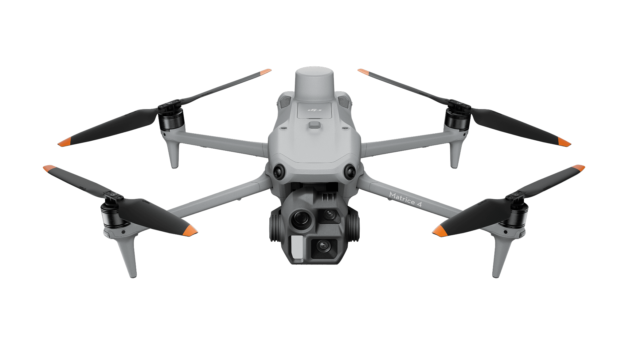
Photographic mapping
Matrice 4E
For orthomosaics and visible-surface reconstruction, with reference, processing and export review.
Surveying & Mapping
Build photographic coverage for an output with a defined use and quality check.
View hardware optionsWhat the team delivers
Choose the use, coverage and acceptance criteria for the project.
Record reference, views and capture requirements for the selected aircraft.
Find gaps and issues before editing or presenting the result.
Open the actual output in the intended recipient’s tool.
Choose the sensing and operating role first. Each configuration links to its product page, and every item you select is priced separately.
Photographic mapping
For orthomosaics and visible-surface reconstruction, with reference, processing and export review.
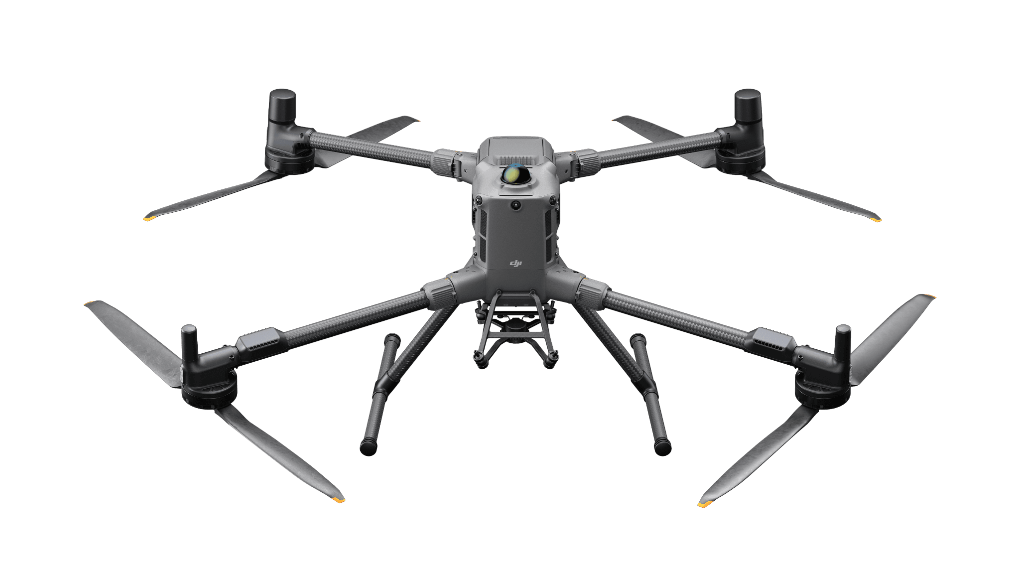
Modular aircraft starting point
Aircraft configuration only. Select the appropriate P1 photographic payload and flight-power arrangement separately for this capture workflow.
Software and deployment services are scoped separately. Hardware is ordered through a quote today; online checkout is coming soon.
Facades and occluded surfaces may need additional views. Plan the required surfaces and inspect the resulting reconstruction.
Need help with the site or team setup? Installation & training
A Canadian research example connects drone mapping and DJI Terra with observations at a peatland study site.
A published DJI example pairs Matrice 4E and Terra for architectural photogrammetry in Germany.