- Define a point-cloud or surface deliverable.
- Maximum detection range is not a mission plan.
- Include processing, storage and export review.
What the payload collects
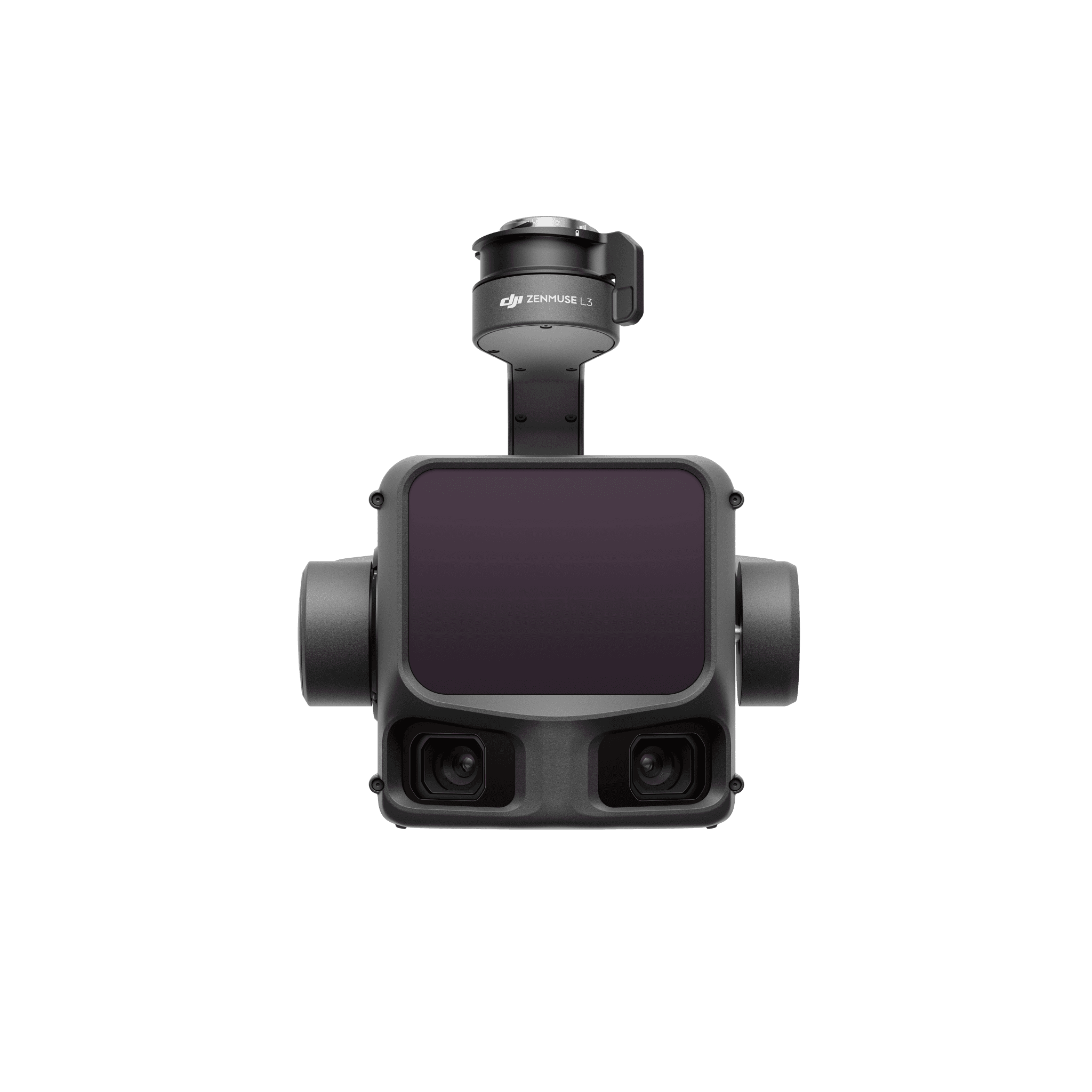
Zenmuse L3 combines a 1535 nm LiDAR with dual 100 MP RGB mapping cameras. These are different data sources in one payload: laser observations support geometric measurement, while photographs add visual information to the project.
DJI’s range figures are sensor test conditions, not a recommended altitude for every job. Use the current mission guidance and the project’s required point distribution to set the flight, rather than choosing altitude from the maximum detection headline.
Specify the deliverable before the mission
| Requested result | Production decision | What to inspect |
|---|---|---|
| Classified point cloud | Which classes and metadata the client needs | Classification errors, missing areas and reference alignment. |
| Bare-earth terrain model | How ground points will be selected and interpolated | Ground coverage under representative vegetation. |
| Asset or corridor geometry | Which features must remain resolvable | Coverage around thin features and occluded surfaces. |
| GIS or CAD handoff | Accepted file types, reference system and units | Open the exported file in the receiving application. |
Plan the production workload
Estimate how much data one representative mission produces and where it will be stored. Assign processing, classification and final review separately. A team that can fly the mission may still need training to distinguish a clean-looking point cloud from a fit-for-purpose terrain surface.
Keep original captures intact and record processing settings beside the export. If a customer asks for a different class selection later, the project should be repeatable without reconstructing the operator’s choices from memory.
Fit it into the actual aircraft order
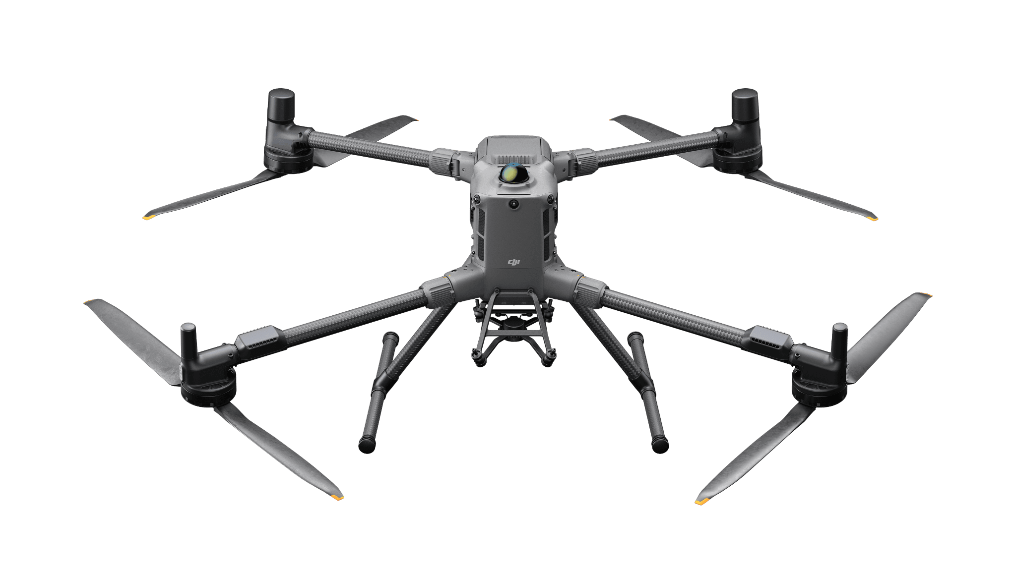
For our confirmed single-payload Matrice 400 setup, L3 mounts directly. Additional payloads change the mounting review. Check the separate aircraft, flight-power and charging selections before treating the configuration as a working kit.
The most useful demonstration is a difficult part of your site: vegetation, uneven terrain, a corridor edge or an occluded asset. Inspect the output there first. A uniform open-ground sample alone will not expose the failure modes that matter to the purchase.