- Choose the target surface, not the most impressive preview.
- Compare equivalent processed outputs.
- Include the production work in the decision.
Start with geometry or appearance
Photogrammetry reconstructs a subject from overlapping photographs. It is a useful starting point when the project needs an orthomosaic, photographic texture or a visible-surface model. LiDAR samples geometry with laser observations and leads to a point-cloud production workflow.
Neither method produces every requested surface automatically. Vegetation, occlusion, reflective surfaces and weak photographic texture change what can be captured and reconstructed. Ask which part of the subject must be represented, rather than comparing only headline accuracy.
A practical selection table
| Project requirement | Initial approach | Important limitation to inspect |
|---|---|---|
| Textured building or site model | Photogrammetry | Coverage of facades, roofs and occluded details. |
| Bare-ground terrain below vegetation | LiDAR trial with ground classification | Actual ground returns and interpolation gaps. |
| Visual site progress record | Photographic capture | Comparable views and missing coverage. |
| Corridor or structural point cloud | LiDAR or a defined combined workflow | Feature resolution and completeness around obstacles. |
Compare the same deliverable
Use the same reference system, area and review criteria for both trials. Compare a processed deliverable with another processed deliverable. A raw point cloud and a polished photographic mesh are not equivalent comparison stages.
Record time spent on re-flights, classification, editing and export. Those tasks can matter more to a recurring job than a difference in collection time. Ask the receiving GIS or CAD user to flag the work still required after each delivery.
Match the sensor to the production team
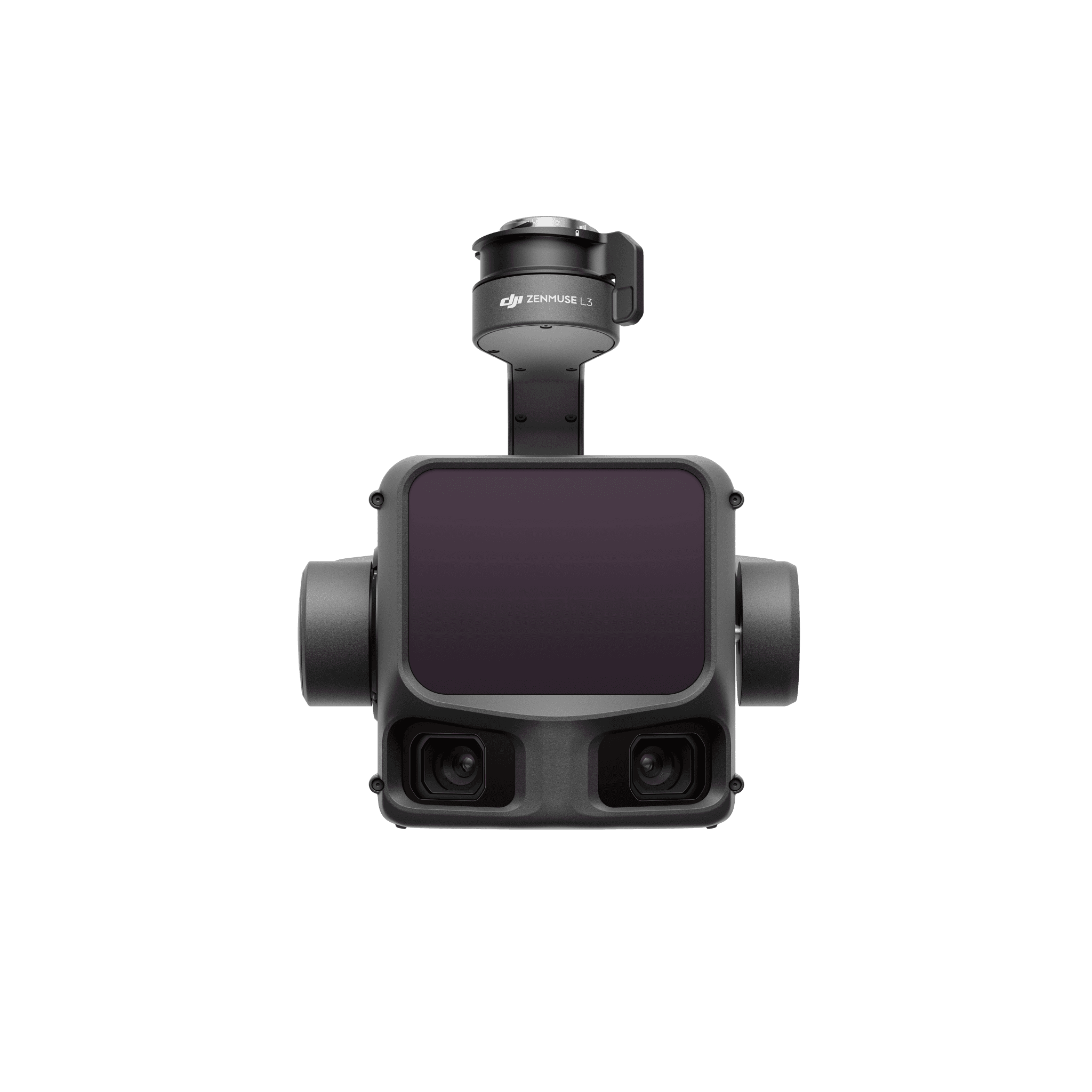
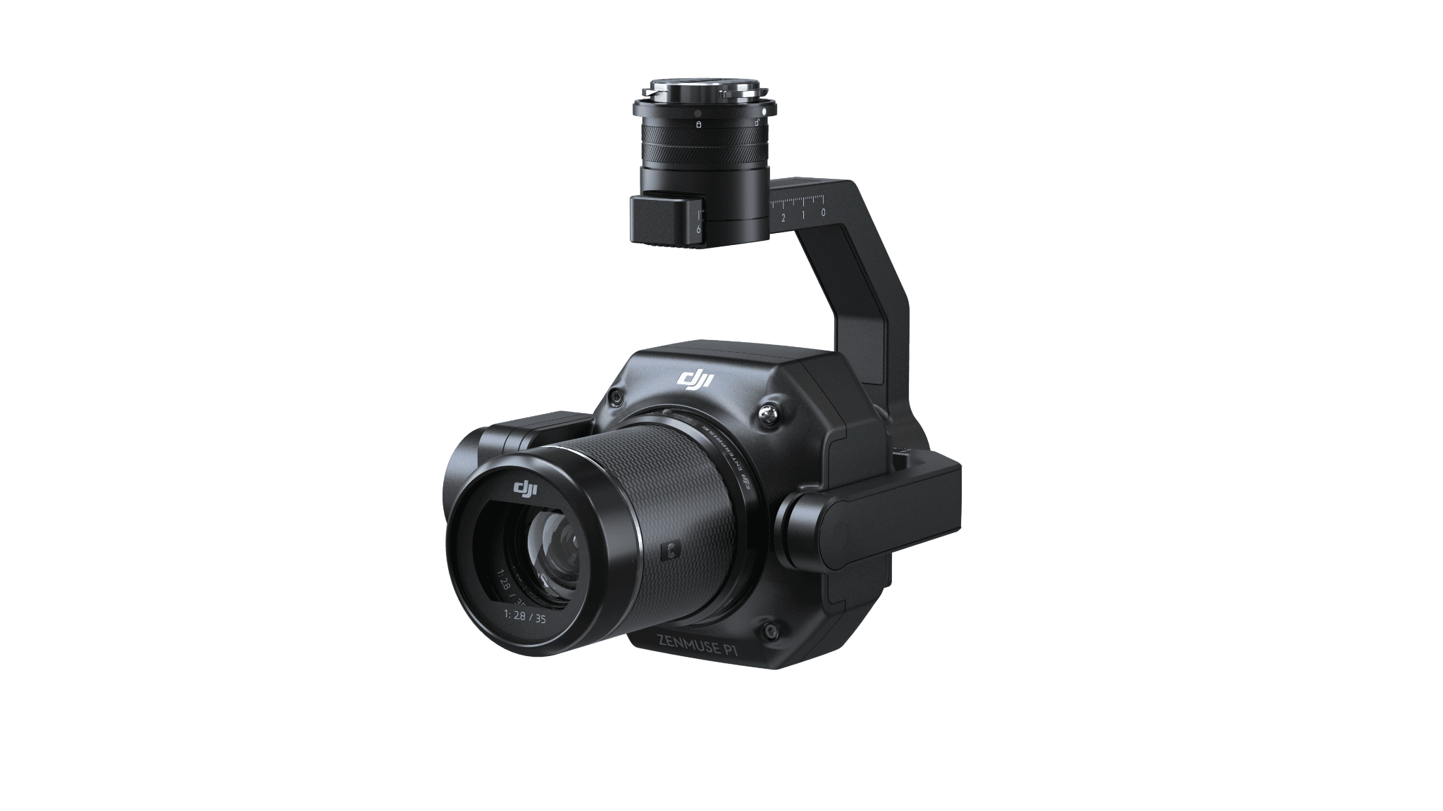
Matrice 4E provides an integrated photographic starting point. P1 is the modular photographic option; L3 is the LiDAR option in our current catalog. The aircraft, power and software selections follow that choice.
A LiDAR purchase should include someone responsible for point-cloud processing and classification. A photographic purchase should include someone who can recognize a failed reconstruction. Plan those skills before increasing the amount of data collected.