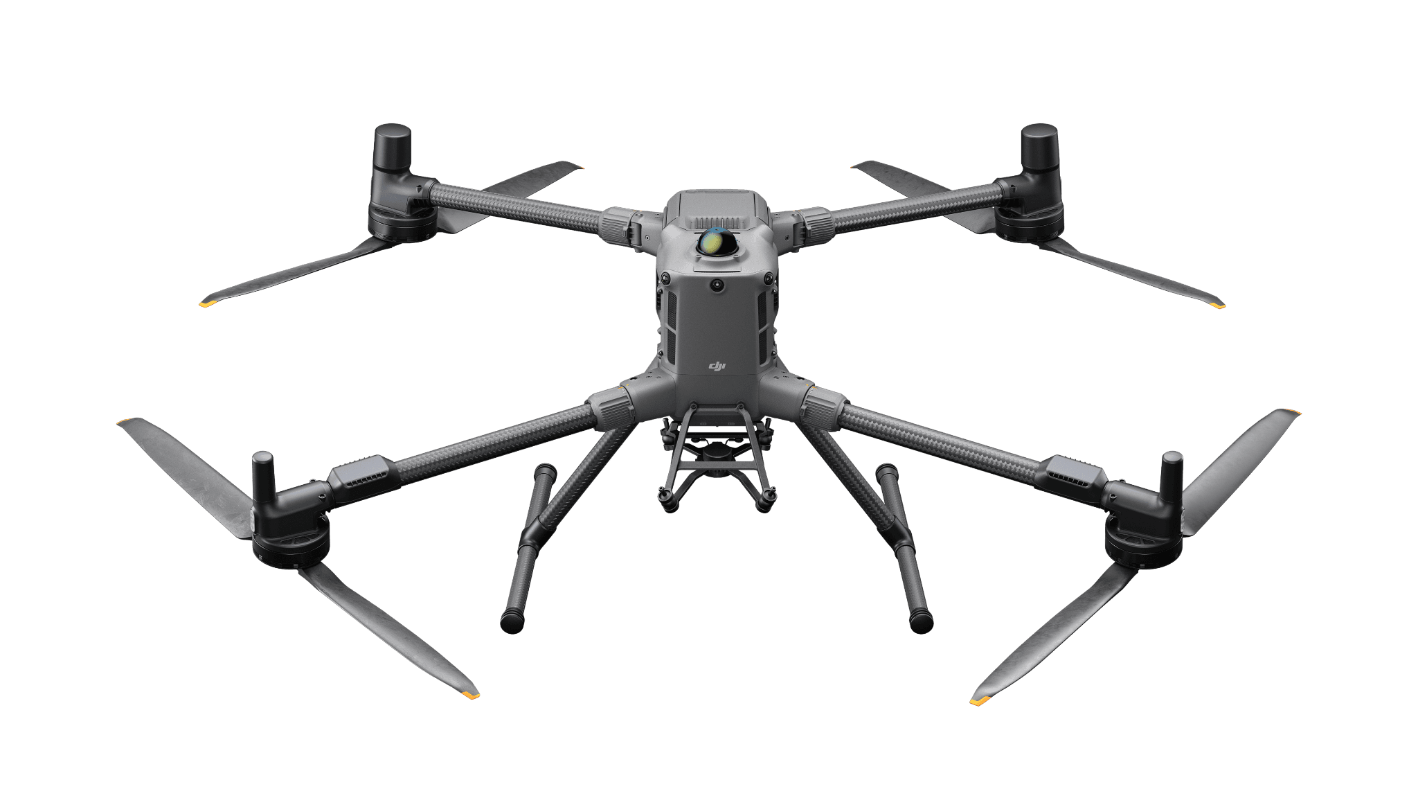
LiDAR production
Matrice 400 + Zenmuse L3
A Matrice 400 configuration with L3 for point-cloud processing. Include classification, storage, reference checks and the accepted export.
Surveying & Mapping
Turn capture into a point-cloud or terrain deliverable the receiving team can use.
View hardware optionsWhat the team delivers
Define terrain, asset or vegetation information before selecting the sensor.
Include site conditions, references and equipment support in the trial.
Assign production and review responsibilities for the dataset.
Use independent acceptance checks and test the delivered format.
Choose the sensing and operating role first. Each configuration links to its product page, and every item you select is priced separately.
LiDAR production
A Matrice 400 configuration with L3 for point-cloud processing. Include classification, storage, reference checks and the accepted export.
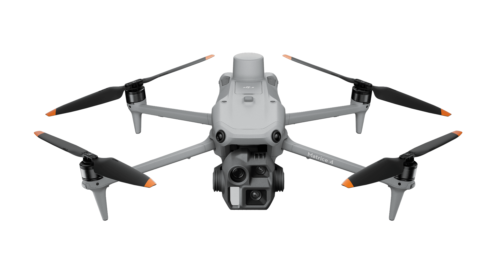
Photographic alternative
For visible site or canopy imagery. This is not LiDAR capture or evidence of ground terrain beneath vegetation.
Software and deployment services are scoped separately. Hardware is ordered through a quote today; online checkout is coming soon.
No. It is a photographic alternative. Choose the L3 system for the LiDAR workflow and treat photographic reconstruction as a different production method.
Need help with the site or team setup? Installation & training
A modular aircraft is one line in the order. Here is how to assemble the rest without confusing optional equipment with included items.
LiDAR hardware is the beginning of a point-cloud workflow. Decide which surface, classification and export the project needs.