- M3M supplies the multispectral bands in this catalog.
- Keep collection and processing changes visible.
- Use the layer to support ground observation and specialist review.
Use a sensor that captures the required bands
Mavic 3 Multispectral combines RGB with green, red, red-edge and near-infrared cameras. Matrice 4E and Matrice 4T are not substitutes for those multispectral bands. Select the actual sensor before selecting an agricultural workflow.
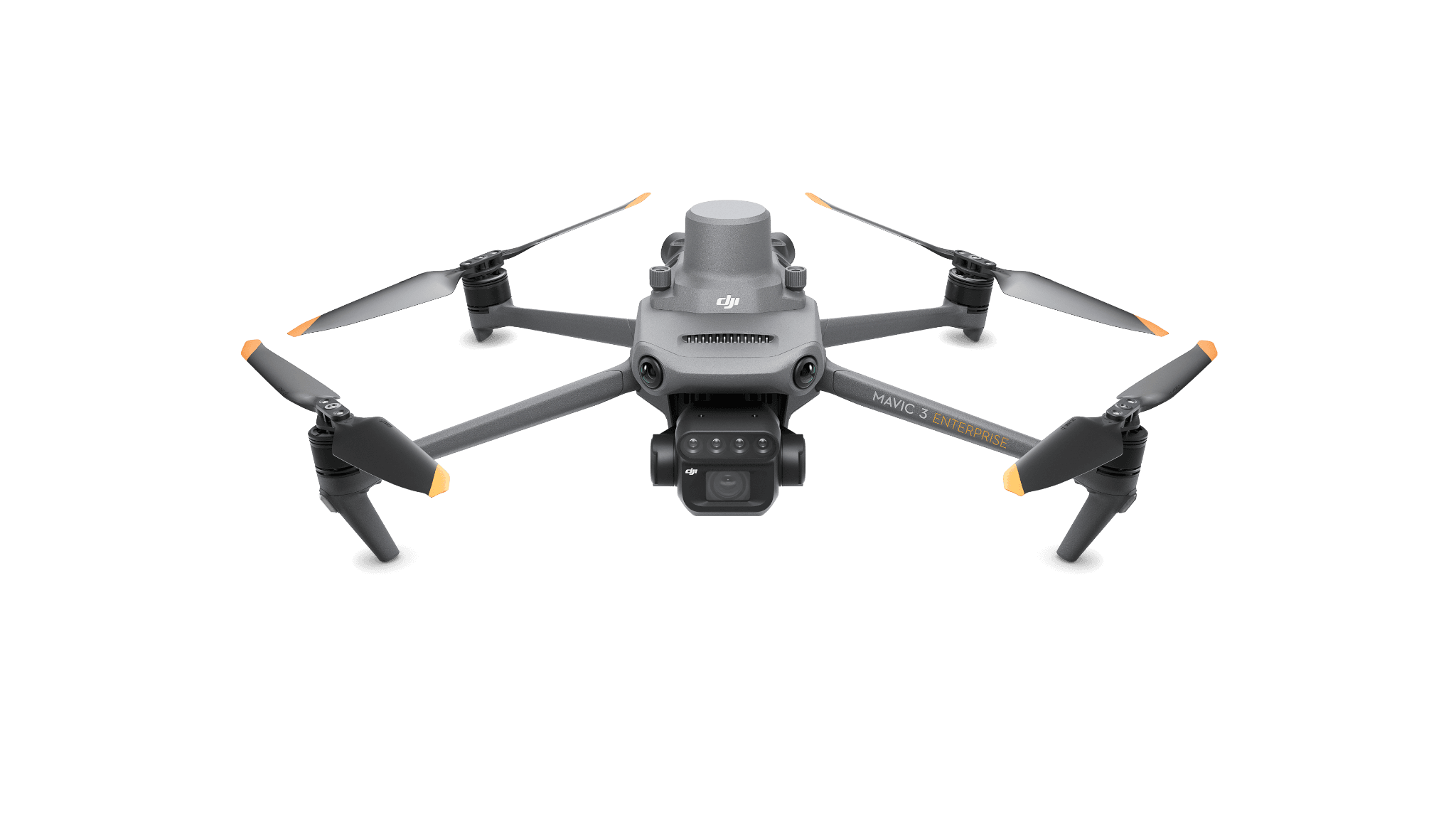
Make repeat captures interpretable
Keep field boundaries, capture dates and the relevant collection conditions with each visit. Record processing settings and any changes between dates. A map that looks different may reflect a changed collection method as well as a changed crop.
Agree the output and reference system with the crop specialist. Decide how map locations will be inspected on the ground. A published color legend is not enough if the field team cannot locate the area it refers to.
Design the scouting handoff
| Record | How it helps the next person |
|---|---|
| Field and date | Identifies the correct crop and growth period. |
| Mapped area and observation locations | Directs the scouting visit. |
| Index or processed layer and method | Explains what the map represents. |
| Ground observations | Adds conditions the aerial layer does not resolve. |
| Specialist interpretation | Connects the observation to an agronomic decision. |
Separate observation from diagnosis
Use a small field exercise to compare contrasting map areas with actual observations. Record what the field visit explained and what remained uncertain. Retain those notes beside the processed layer.
Do not present one index as a stand-alone diagnosis or a guaranteed yield result. A useful service provides a traceable observation and a clear scouting or analysis step. Repeating that process consistently is more valuable than adding a generic aircraft recommendation to every crop report.