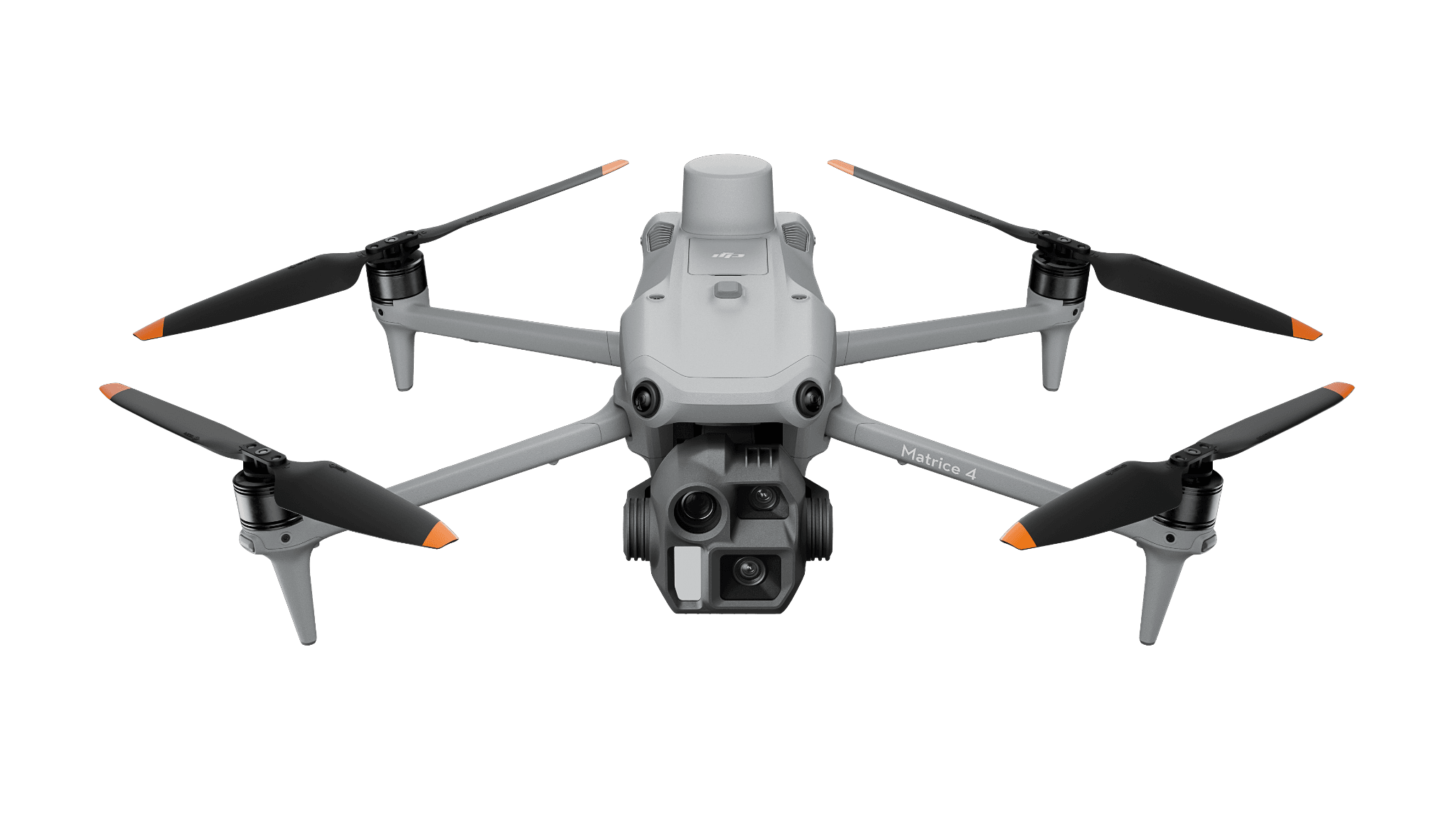
Photographic mapping
Matrice 4E
For orthomosaics and visible-surface reconstruction, with reference, processing and export review.
Surveying & Mapping
Deliver a reviewed mapping dataset with an explicit reference and acceptance method.
View hardware optionsWhat the team delivers
Agree the output format, coordinate reference and acceptance criteria.
Plan the positioning workflow and independent checks for the site.
Review completeness before processing and preserve the raw record.
Evaluate the output against the agreed criteria and test it in the recipient’s software.
Choose the sensing and operating role first. Each configuration links to its product page, and every item you select is priced separately.
Photographic mapping
For orthomosaics and visible-surface reconstruction, with reference, processing and export review.
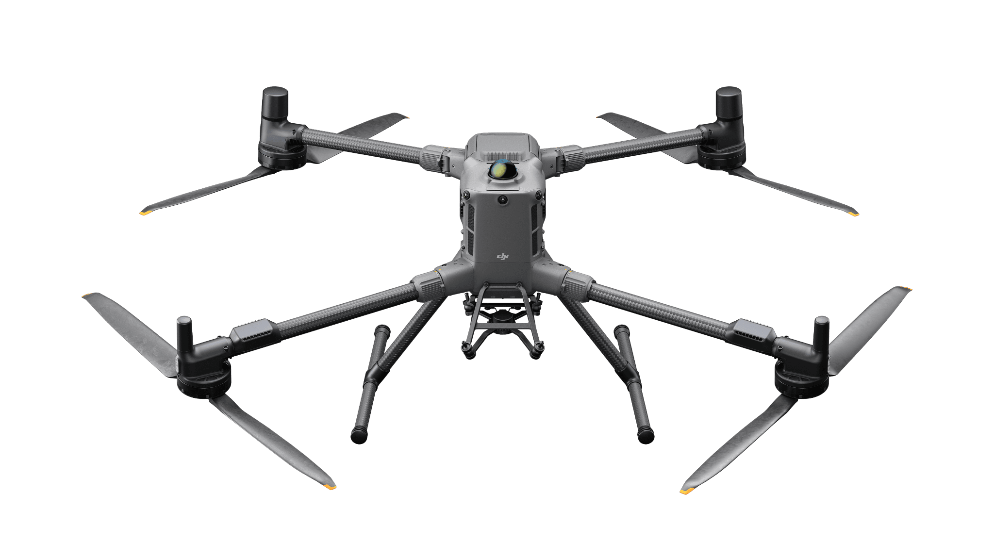
LiDAR production
A Matrice 400 configuration with L3 for point-cloud processing. Include classification, storage, reference checks and the accepted export.
Software and deployment services are scoped separately. Hardware is ordered through a quote today; online checkout is coming soon.
Positioning corrections support capture. Independent checks and inspection of the exported result address the delivered project quality.
Need help with the site or team setup? Installation & training
A surveying reference and a fixed relay solve different problems. The shared D-RTK 3 name does not make their roles interchangeable.
Corrections help position a capture. Independent checks tell you whether the delivered map meets the project requirement.