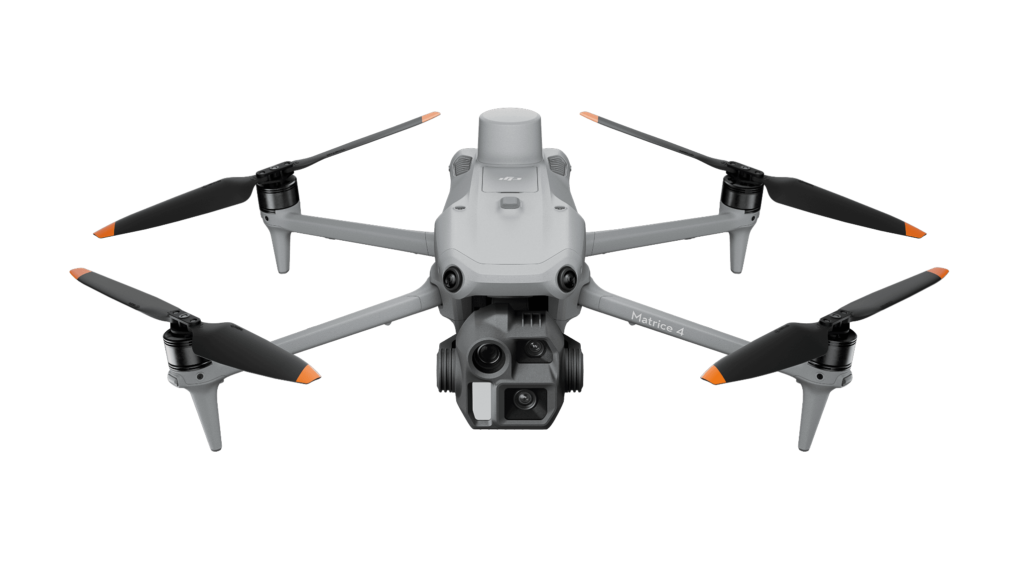
Photographic mapping
Matrice 4E
For orthomosaics and visible-surface reconstruction, with reference, processing and export review.
Construction
Connect a capture deliverable to the model coordination team’s actual tools.
View hardware optionsWhat the team delivers
Decide which drawing, model or review question needs the capture.
Match image or LiDAR collection to that intended output.
Record gaps, edits and any limitations that affect its use.
Open the export in the actual receiving software before acceptance.
Choose the sensing and operating role first. Each configuration links to its product page, and every item you select is priced separately.
Photographic mapping
For orthomosaics and visible-surface reconstruction, with reference, processing and export review.
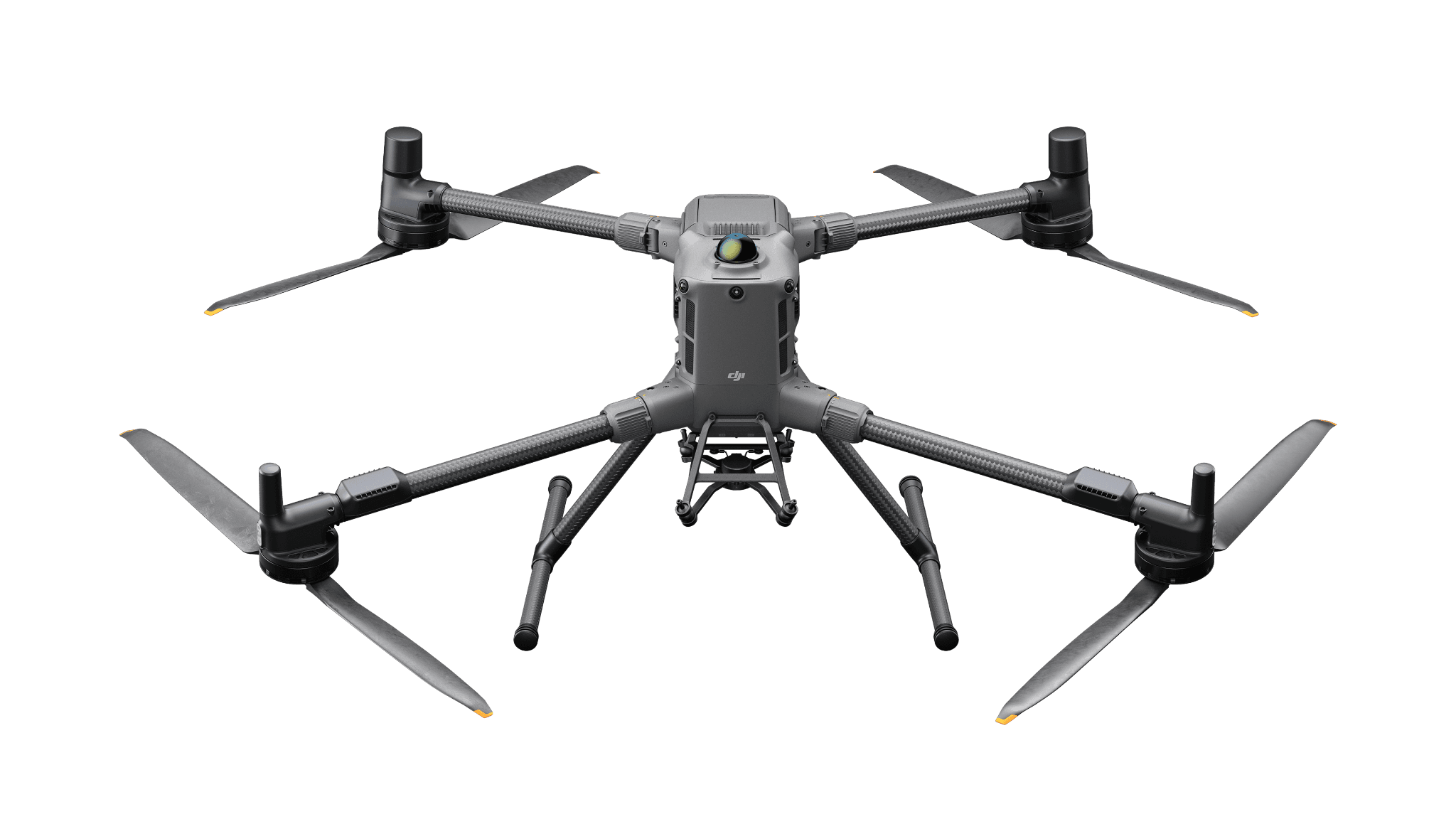
LiDAR production
A Matrice 400 configuration with L3 for point-cloud processing. Include classification, storage, reference checks and the accepted export.
Software and deployment services are scoped separately. Hardware is ordered through a quote today; online checkout is coming soon.
The receiving team should be able to open, reference and use the delivered output for the named coordination task.
Need help with the site or team setup? Installation & training
A published DroneDeploy site visit provides an example of Dock-based construction capture and the people who use the record.
A published DJI example pairs Matrice 4E and Terra for architectural photogrammetry in Germany.