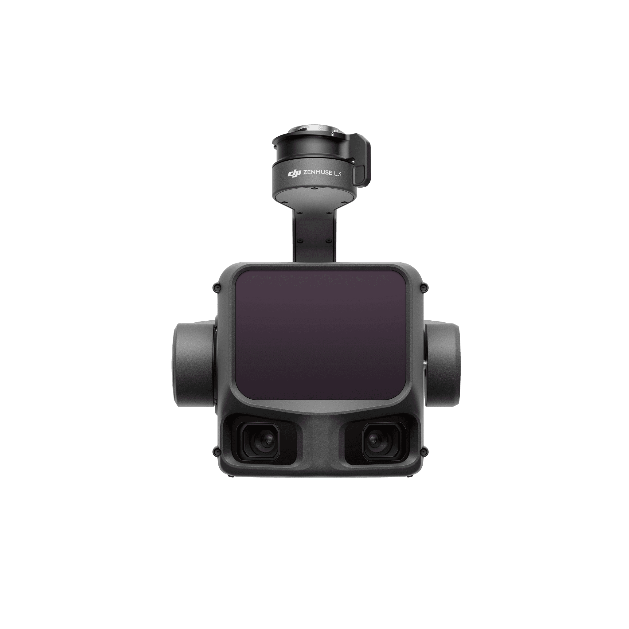
Zenmuse L2 combines LiDAR, an integrated inertial system and a 20 MP RGB camera in one stabilized payload. It records geometry and photographic context for point-cloud production in a supported DJI Terra workflow. This reference helps teams evaluate an existing L2 installation, check aircraft fit and compare the requirements of a current L3 system.
In practice
What you can capture
Geometry and photography in one capture
The LiDAR records ranges while the RGB camera supplies color and visible context. Return settings, scan pattern, altitude and flight speed affect the point distribution; more return records do not guarantee ground recovery under every canopy.
A payload with platform-specific installation
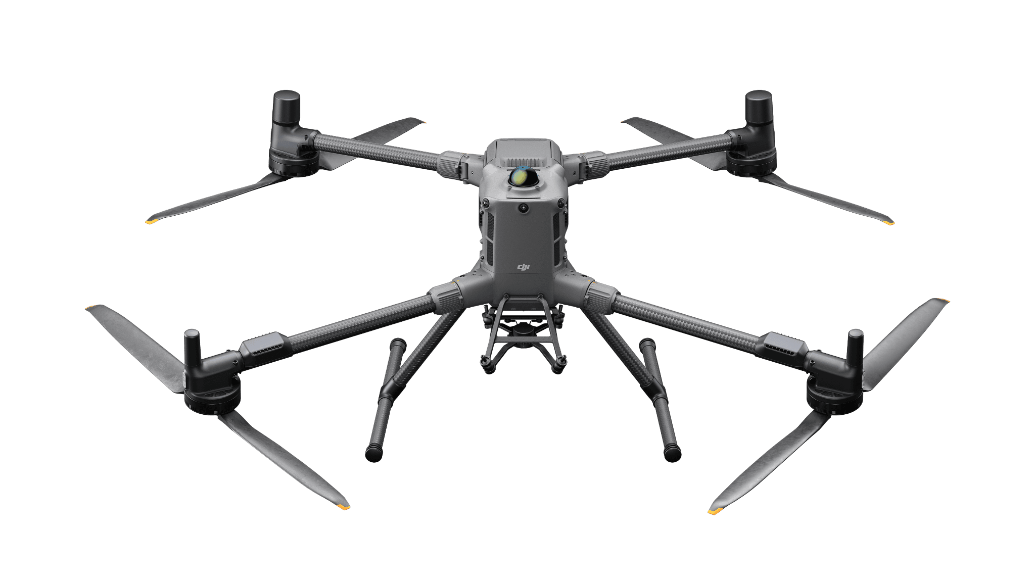
Matrice 350 RTK and Matrice 300 RTK use the supported single-downward installation. Matrice 300 RTK additionally requires DJI RC Plus. Matrice 400 supports the specified single- or dual-downward installation; an additional payload can affect accuracy.
Compare an L3 upgrade as a system
L3 requires Matrice 400 and its dedicated connector. An L2-to-L3 comparison therefore includes the aircraft, power equipment, mounting, capture settings and processing workflow rather than just exchanging a sensor.
Where it fits
Applications
Existing-fleet terrain mapping
Maintain a documented L2 capture, correction and processing method with independent check points.
Vegetation & land observations
Collect surface geometry and multiple returns where the vegetation and capture conditions permit.
Corridor & earthwork records
Use a planned route and suitable ground verification to develop repeatable point-cloud deliverables.
Fit & requirements
Compatibility
Use a supported aircraft, correct gimbal connection, current compatible firmware and a supported DJI Terra workflow. M300 requires DJI RC Plus. M350/M300 and M400 have different mounting conditions; do not infer that the same combination or power equipment fits every aircraft.
DJI lists support with the specified single- or dual-downward mounting. Confirm the exact connector, firmware and accuracy effects of any companion payload.
No. L3 requires Matrice 400. Compare the entire aircraft and sensor system when planning the change.
No. A reference page does not supply products, a software license or an installation service.